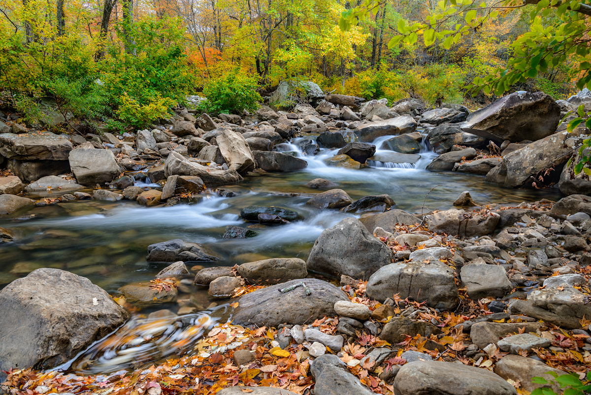
Arkansas has many famous spots for outdoor recreation which feature lakes, or streams. For sure one of the best is Richland creek, in the northwest part of Arkansas. With Richland Creek one can find a stream that is the 2nd largest tributary of the Buffalo river which has a huge watershed that cross through several Arkansas counties before emptying into the Buffalo river at Woolum. In the winter and springtime Richland is famous for kayaking both the upper and lower portions of the creek. During the late spring and summer Richland tends to offer a quiet and tranquil location to get away from busier parts of Arkansas. During the autumn, Richland can offer one of the most dramatic displays of fall color in the state since there are several areas along the creek that have trees approaching 50 to 70 years of age. I like to try and hike Richland at least 4 times during the year to catch the creek at it’s different stages each of which can offer amazing photograhic opportunities.
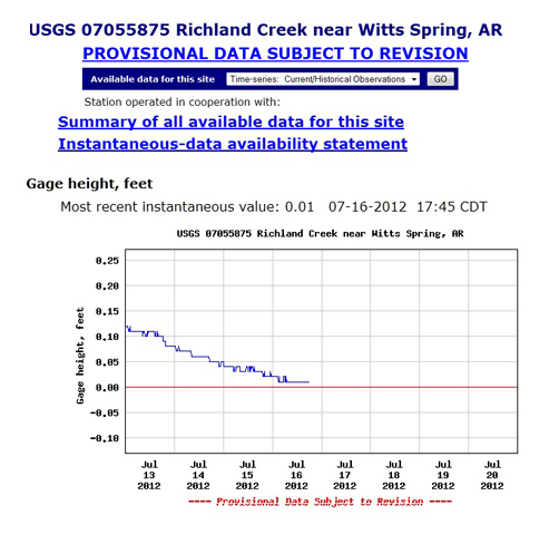
On my weekly checks of Richland Creek’s USGS Hydro-graph I have watched as my favorite creek has slowly dropped down the chart. However today when I checked the creek, I was amazed to see a flat-line 0.00. I have never in 18 years of monitoring Richland seen it this low. The gauge is near the concrete bridge immediately below the campground and I have to assume that the large pool at the bridge is now dry or very close to being dry. Richland’s being this low really puts into perspective just how low the state of Arkansas’s wild stream flow is currently. I also check the Buffalo River and it is now showing 0.25 at the Boxley gauge which is also very low, even for this time of the year.
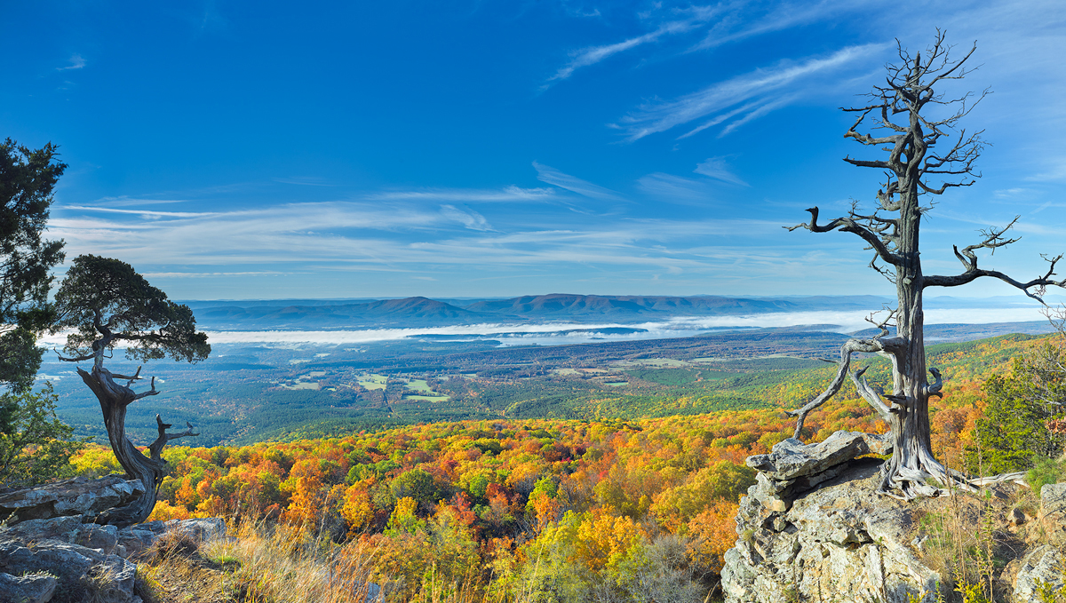
It’s now safe to say that unless Arkansas gets some measurable rainfall between now and the October time frame, the fall colors more than likely will not be very impressive this year. I am now seeing rows of trees in stress along most of the highways in Arkansas. The oaks, hickory, and maples will turn brown but hold their leaves on the trees until true fall arrives. Some of the smaller trees will die unable to make it through this intense heat and lack of moisture. However the large trees will go dormant and hopefully make it through this hard time and come back next year. If you see a pine showing totally brown needles, more than likely that tree is not going to make it. Pines don’t have a dormant phase and keep their needles on year round.
This is going to be a tough one for Richland, as now I am sure that the entire upper creek from the campground bridge up to the headwaters is dry. The lower portions of the creek below the last crossing before Woolum may still be hold a bit of water but probably only in the larger pools. The large trees that have flourished along the banks of Richland will probably be OK but the trees that are growing up on the ridge tops may have some troubles.
If you are going to camp at Richland campground, I would be very careful with a campfire. Right now even a slight flying ember may cause a huge fire and it would be very hard to contain as most day’s we seem to be having 10 to 15 mile gusts of wind. This is one year that we need to end and hope that next year, especially the winter months hold a much wetter period for Arkansas. Keep you hopes up.


Recent Comments