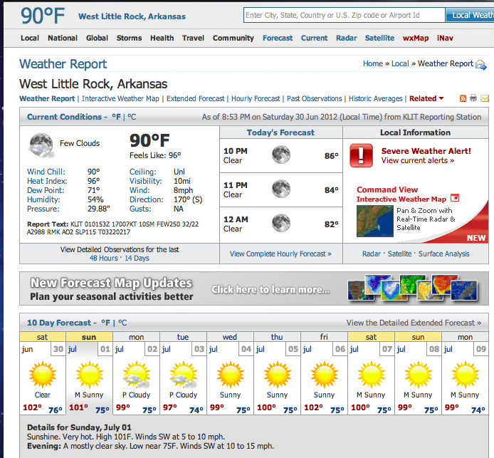
Well as much as I would like to say “it’s all OK here in the State of Arkansas”, I really can’t. This has to be the worst heat wave since the mid 1980’s when the state went almost 60 days with no measurable rainfall. As you can see from the forecast page above, for the next ten days Arkansas temperatures will stay well over 95 degrees and on many days they will climb over 100 degrees.
If this continues for much longer, then you can safely assume a few things:
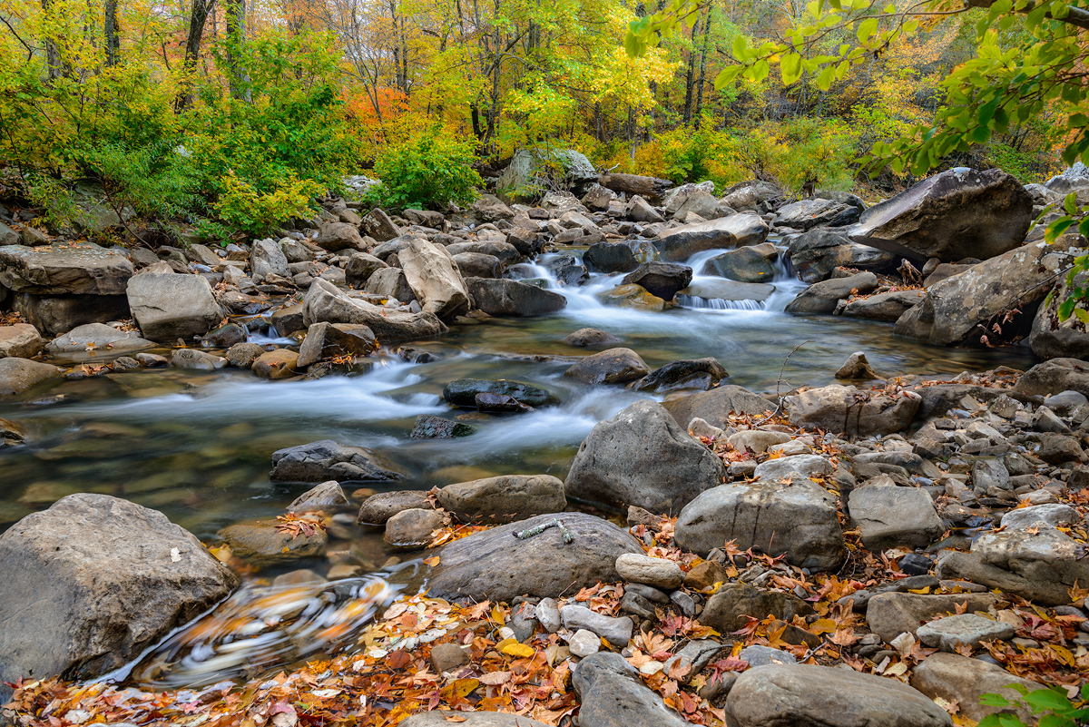
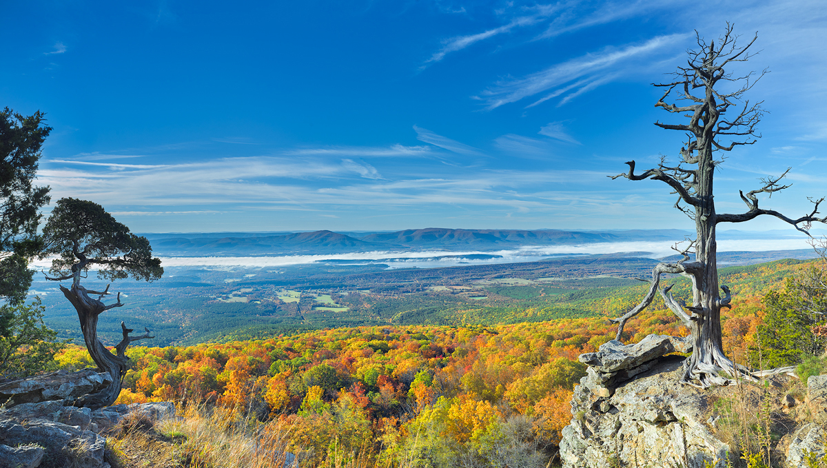
- Within 20 more days you will start to see large numbers of trees going into stress. When this occurs the leaves will turn brown and stay on the tree until late fall. However it also means that any hope of a good photographic fall will be ruined.
- Most if not all of the major trunk streams in the State are going to dry up totally, this includes the upper Buffalo River near Boxley, Piney Creek near Russellville, the Cossatot River in the Southwest corner of Arknasas, and the Mulberry River near Fort Smith. The smaller streams like Richland Creek have already dried up and unless the state gets some significant rainfall in July and August, I don’t think they will have anything in the fall either.
- The fire hazard in the state is at highest level. On my last trip to the Buffalo River in early June, I was already seeing sights along the roads that let me know we were in for a long hot one. The roadside wildflowers were gone and the grasses that grow along the road side were all brown. Now almost a month later, all of these areas are going to be at a high risk if someone throws out a cigarette.
- Deer, Elk, and other large wildlife will stay in the deep glens and valleys of the state and not venture out in to the flats due to the excessive heat. So wildlife photography will be much harder than stopping along the road side and taking out your camera.


Recent Comments